Data Explorer
Search it, trace it, build on it — 936+ curated datasets with provenance on every layer, so your first project never starts empty.
Start on a living data foundation, not a blank project.
Describe what you need in a sentence and the catalogue returns the layers that answer it — no metadata query syntax.
Source, licence and version travel with the dataset, so anything you map can be traced and defended.
Upload your own datasets and they sit beside the public ones — one search across both.
Curated, versioned and governed — from the first click.
936+ curated, versioned datasets — boundaries, population, land cover, climate, transport, health — cleaned, structured and continuously updated.
Search by meaning, not just by title: a question about flood risk finds the rainfall, catchment and elevation layers behind it.
Where teams start with Data Explorer.
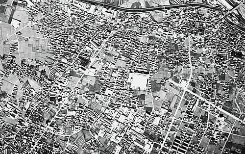
School registers arrive as names and enrolment figures with nothing to place them against. Uploading that register beside the catalogue's boundary, population and transport layers puts every school on one map of the county — exportable as CSV or GeoJSON into the ministry's own GIS.
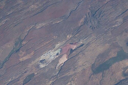
A facility list only becomes a catchment when it sits against population, transport and boundary layers — work that normally takes weeks of chasing files between offices. Plain-language search returns them together, with the department's own facility list sitting in the same search, so every facility is mapped against the population it serves in days, not months.
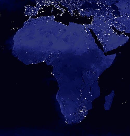
The county energy plan has to show where connections should go, but the evidence sits in PDFs and disconnected spreadsheets. Population, boundary and land-cover layers come together in one view and leave in open formats, so the plan is argued from a map anyone can check.
Questions, answered.
What is Data Explorer?
The catalogue surface of OrionGIS: a governed, searchable index of your own datasets and 936+ curated public ones, with provenance attached to every layer. It is where a project starts.
Where does the catalogue data come from?
Curated national and international open-data programmes — cleaned, structured and continuously updated — plus anything your team uploads. Source and licence stay visible on every dataset.
Can we use the catalogue without OrionGIS?
Yes. Every dataset is exposed through standard OGC services (WMS/WFS/WCS) and a REST API, so it drops straight into QGIS, ArcGIS or any other client your team already runs.
Ready to start on real data?
Open the catalogue, run your first search, and build on layers you can trace back to their source.