← All sectors
OrionGIS for Logistics & Transport
Logistics & Transport
Every route, depot and delivery on one map of record.
What OrionGIS does for logistics & transport
Ready to run on your data now.
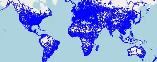
- Road, rail, port and depot datasets searchable and mappable today
- Combine routes with population, terrain or delivery catchment layers in one view
- Collect delivery, asset and vehicle surveys directly with OrionForms
- Share one live project view with partners or drivers via a single link
Coming next: Next, we're building route optimization and catchment scoring against population and infrastructure layers.
Working in logistics & transport? Let's talk about what you need mapped.
Other sectors