← All sectors
OrionGIS for NGOs & Development
NGOs & Development
Field data, from the last mile to the dashboard, on one platform.
What OrionGIS does for ngos & development
Ready to run on your data now.
- Web and mobile field data collection with OrionForms — the same open field-data approach development programs run worldwide
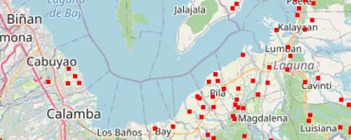
- Submissions and coverage visible on the map the same day they're collected
- Every program's data catalogued, searchable, and shareable across a team in one place
- Fully self-hosted, so program data stays the organization's — not locked into a third-party SaaS
Coming next: Next, we're building permissioned multi-partner data spaces so implementing organizations and donors can share one live coverage picture.
Working in ngos & development? Let's talk about what you need mapped.
Other sectors