← All sectors
OrionGIS for Conservation & Environment
Conservation & Environment
Watching the land change, before it's too late to act.
What OrionGIS does for conservation & environment
Ready to run on your data now.
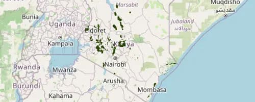
- Forest-cover, ecosystem, and protected-area datasets searchable and mappable today, side by side with any other layer
- Run ranger and field-monitoring surveys with OrionForms, offline-capable for the most remote sites
- Combine satellite-derived layers with your own field data in one interactive map view
- Self-hosted, so sensitive location data for protected species or sites stays under the client's own control
Coming next: Next, we're building automated deforestation and land-cover-change alerts on top of regularly refreshed satellite imagery.
Working in conservation & environment? Let's talk about what you need mapped.
Other sectors