What OrionGIS does for agriculture
Ready to run on your data now.
- Farm, soil, climate and market datasets searchable in one catalogue instead of scattered spreadsheets
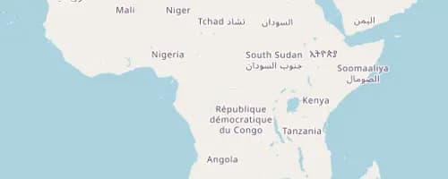
- Layer crops against rainfall, soil and roads in a single interactive map view
- Run farm and field surveys with OrionForms — web and mobile, works offline
- Self-hosted on infrastructure cooperatives or ministries control
Coming next: Next, we're building yield-gap and suitability analysis that fuses satellite vegetation indices with field surveys.
Working in agriculture? Let's talk about what you need mapped.
Other sectors