One geospatial platform, built for where Africa is going.
The same catalogue, map viewer, and field-collection platform — ready to run on your data, whichever of these sectors you work in.
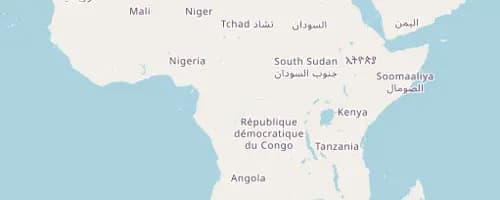
From soil to market, every field on one map.
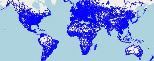
Every route, depot and delivery on one map of record.
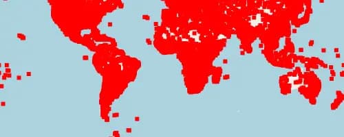
Map the risk before it becomes a response.
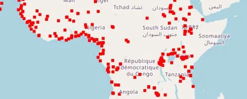
From power grids to pipelines, one map of record.
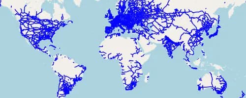
Plan the network the subscribers actually need.
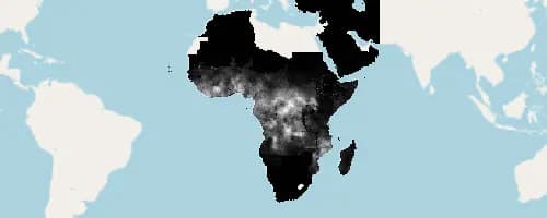
Mapping the infrastructure that keeps people alive.
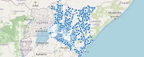
Every school, mapped — and every gap, visible.
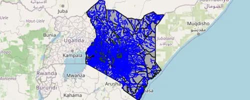
The spatial backbone a modern public sector runs on.
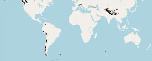
From exploration to reclamation, mapped end to end.
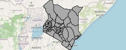
Every parcel, project and price on one map.
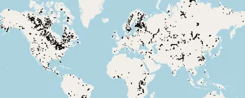
Underwrite with the full picture on the map.
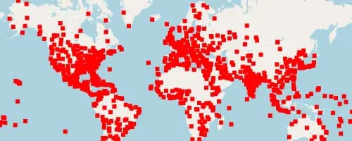
Every destination, trail and facility, mapped.
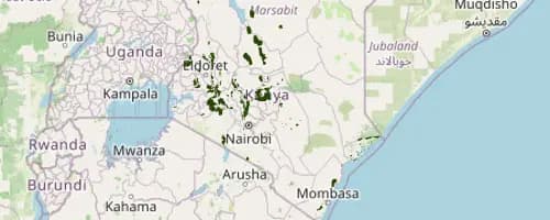
Watching the land change, before it's too late to act.
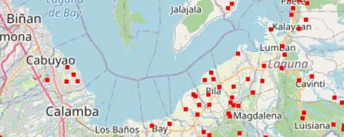
Field data, from the last mile to the dashboard, on one platform.