OrionAI
AI grounded in your data — your catalogue, forms and dashboards — so it understands your workflow and your business, not just questions. It runs the work and verifies the result before you act on it.
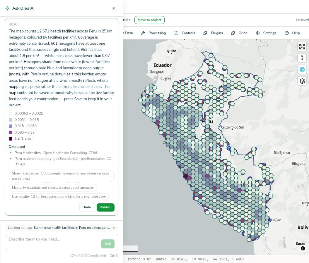
AI that knows your business.
One AI on your own catalogue, forms and dashboards — it understands your workflows instead of starting from a blank chat window.
Every AI result is independently checked before anyone acts on it, so the whole team can rely on the answer.
It removes the busywork; your specialists' judgement stays the standard its output is held to.
One AI layer, everywhere the work happens.
Describe a survey in a sentence and OrionAI drafts the structure, ready for you to refine in OrionForms and take offline.
Ask a spatial question in plain language and the analysis is assembled against catalogue layers and returned as a map you can publish.
What changes when the first draft already exists.
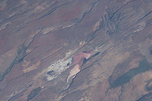
Ranger patrols record wildlife sightings, poaching and human–wildlife conflict daily — often across conservancies with no connectivity at all, and the form has to fit the patrol before the first one goes out. Describe the patrol in a sentence and OrionAI drafts the form; rangers refine it, collect offline on Android, and the submissions land in the catalogue the moment they sync.
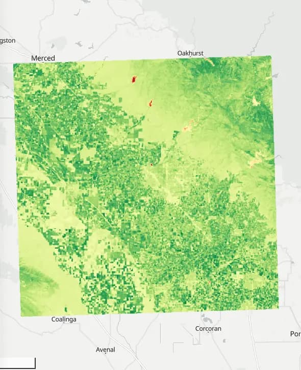
"Crop vigour in California's Central Valley around Fresno in summer 2024" is the whole request. OrionAI found 22 cloud-screened Sentinel-2 scenes from June to August, computed NDVI, classified it and styled it, and the result card explains what each colour means — so the agronomist starts from a finished, explained map instead of a download queue.
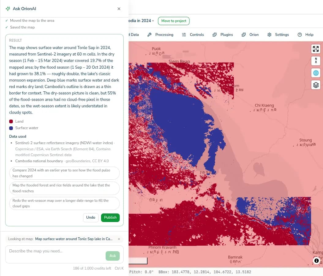
The programme already collects monthly screening data in OrionForms; what it lacks is the picture on the wall when the coordination meeting starts. OrionAI builds a live dashboard on its own submissions and the catalogue's population and boundary layers — districts falling behind come back as charts and maps, verified before they reach the donor report, and the team keeps asking the dashboard questions between meetings.
Questions, answered.
What is OrionAI?
The AI layer across OrionGIS. It drafts forms, runs analyses and builds dashboards, and every result is independently verified before it publishes — so nothing reaches your team unchecked.
Does the AI replace our GIS team?
No. It is a force multiplier: it drafts, runs and builds so specialists stop doing busywork, while their judgement stays the standard its output is checked against.
How is AI usage metered?
By AI questions per month: 10 on Free, 250 on Growth, 2,500 on Professional, and custom limits on Enterprise. Everything else on the platform is unaffected by the cap.
Ready to put verified AI to work?
Ask a real question about your own area and watch it come back as a form, an analysis or a dashboard — checked before it publishes.