OrionForms
Describe it, collect it, sync it — a field survey designed, deployed and halfway finished by the afternoon.
Field data, without the friction.
Describe the survey in plain language and AI drafts the questions and structure — then you refine it.
Forms work with no connection at all; records stay on the device until there is one.
The moment connectivity returns, submissions land in OrionGIS as data you can map, export and report on.
From a sentence to a synced dataset.
Write the survey in a sentence and the form comes back drafted — questions, types and structure — for you to edit rather than author from scratch.
Offline-first on web and Android: forms, drafts and submissions are captured locally, so a day without signal is not a day without data.
Built for the places surveys actually happen.
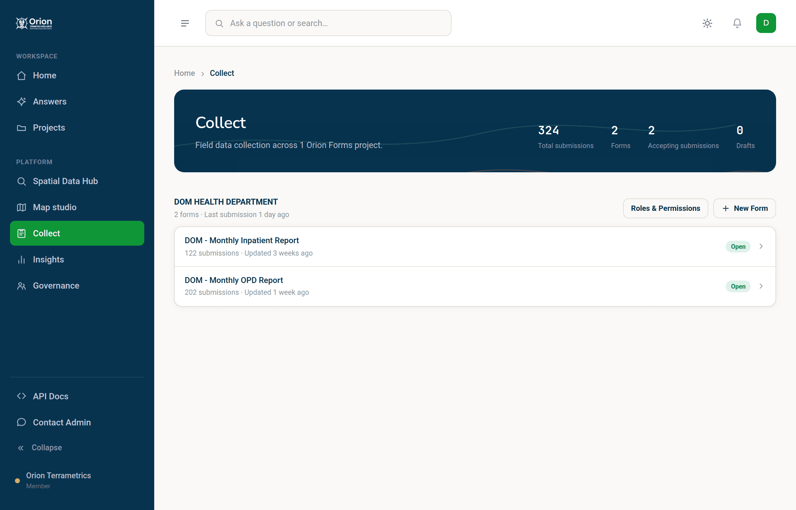
Monthly inpatient and outpatient returns reach a diocesan health office on paper and are retyped at one desk, so the month's picture arrives late. Each facility now submits the same OrionForms form offline on Android, and submissions sync into the catalogue on reconnection — one form every month, exportable to CSV, comparable round to round.

The education office needs a current register of every school it runs — what stands on each site, and where — and cannot wait on school heads filing it online from places with no connection. It describes the survey in a sentence, AI drafts the form, and field officers capture each school offline with GPS position, a photograph and its attributes until the register lands in the catalogue, ready to map or export.

Water points are recorded on paper that never becomes a map, so nobody can see which are working or where the gaps are. Teams capture each asset offline with coordinates, a photograph and condition attributes, and the inventory syncs to the catalogue as a mappable dataset that exports to CSV or GeoJSON for whoever needs it next.
Questions, answered.
What is OrionForms?
OrionGIS's field data collection app. Describe a survey in a sentence and AI drafts the form, then collect offline on web or Android and have submissions sync into the catalogue.
Does it work without internet?
Yes — offline-first is the design, not a fallback. Forms, drafts and submissions live on the device until connectivity returns, then sync automatically. No manual uploads, no lost records.
Which plans include OrionForms?
OrionForms is part of Growth and above. The Free plan includes the rest of the platform — maps, spatial analysis and the curated catalogue — with AI answers capped at 10 questions a month.
Ready to take the form to the field?
Describe your survey and watch it become a form — then collect it offline and see it land in the catalogue.