Map Studio
Compose it, style it, publish it — stakeholder maps, print layouts and living embeds from your browser, with nothing to install.
The whole map, made in the browser.
Layers, symbology, feature editing and print layouts where the work happens — no desktop install, no plugin, no version to chase.
Send a map to stakeholders, embed it anywhere, and keep the access rules you set at publish time.
Import Shapefile and GeoJSON, draw straight onto the map, and export what you make in open formats.
Everything between raw layers and a published map.
Style by attribute, label features and edit geometry in the browser — the map is the workspace, not a picture of one.
Compose a finished map — title, legend, scale, north arrow — and print or export it without leaving the browser.
Maps that used to take a licence and a week.
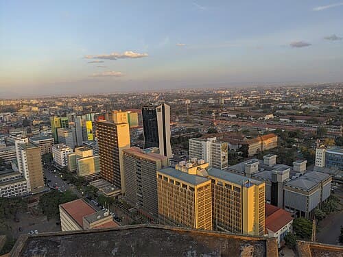
Boundaries, settlements and project sites are styled in the browser for a non-technical audience and published in one click, with access set per audience — planners, ward committees, the public. Revising the plan means republishing it, so the map a ward committee opens is the current plan, not a PDF from a previous revision.
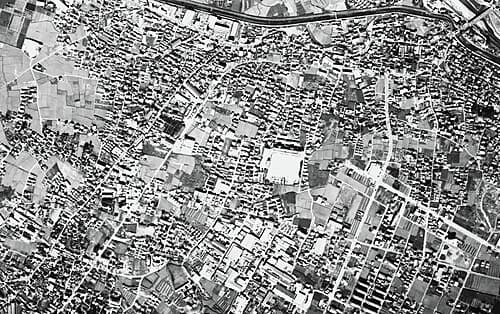
A distributor composes its network against terrain and settlement layers in the browser and builds the print layout — title, legend, scale, north arrow — without a desktop licence in the loop. Crews work from the same symbology the office sees, and keeping the set current is a republish rather than a redraw.
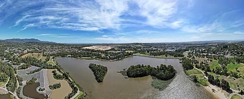
Its boundary, habitat and monitoring layers go onto its own website as a living embed, with access rules set at publish time. Field monitoring submissions appear on that map as they sync, so what partners and the public see is current without anyone rebuilding a layout or re-uploading files.
Questions, answered.
What is Map Studio?
The web editor inside OrionGIS for making maps: layers, styling, feature editing and print layouts, with one-click publishing and embeds. It runs in the browser — there is nothing to install.
Do we need desktop GIS to use it?
No. Map Studio covers styling, editing and print layouts in the browser, and every layer stays available in the desktop client you already use through OGC services and a direct QGIS plugin.
Can maps stay private?
Yes. Access is set per map and per layer with roles and permissions — publish to a team, to a single link, or to the public web.
Ready to make your next map?
Start free in the browser and publish your first map today — or walk us through the map you need built.