← All sectors
OrionGIS for Tourism & Hospitality
Tourism & Hospitality
Every destination, trail and facility, mapped.
Ask OrionAI
One request. A finished, explained map.
“Elevation map of the Alps around Zermatt with hillshade”
This is a relief map of the Alps around Zermatt, drawn with hypsometric height colours and shaded relief multiplied in, so ridges, valleys and glaciers read as light and shadow. Heights run from 829 m in the lowest valley floor to 4,542 m at the highest summit, with a mean of about 2,686 m across the area.
Data: Orion Terrametrics / ESA Copernicus · OpenStreetMap contributors via Nominatim · recorded in OrionGIS, Zermatt, Switzerland
How OrionAI works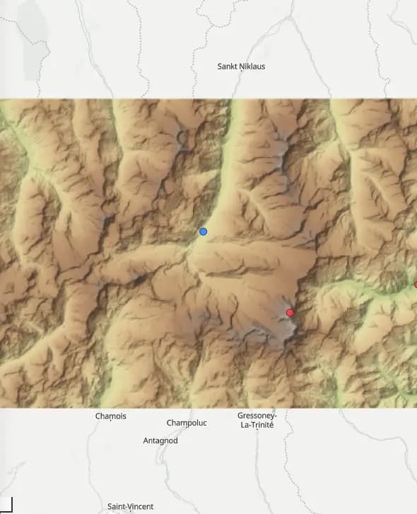 Zermatt, Switzerland
What OrionGIS does for tourism & hospitality
Ready to run on your data now.
- Destination, attraction and facility datasets searchable and mappable today
- Publish visitor-facing interactive maps of destinations, trails and services
- Run maintenance and audit surveys with OrionForms — offline in remote sites
- Self-hosted, so visitor and revenue data stays under the operator's control
Coming next: Next, we're building visitor-flow and carrying-capacity analytics.
Working in tourism & hospitality? Let's talk about what you need mapped.
Other sectors