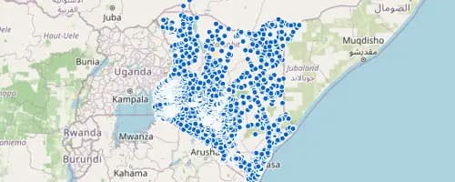
What OrionGIS does for education
Ready to run on your data now.
- School locations and catchments searchable and mapped today, viewable and downloadable like any other dataset
- Combine school data with roads, population, or administrative boundaries in a single map view
- Collect enrollment, facility-condition, or infrastructure survey data directly with OrionForms
- Export to CSV/GeoJSON or serve over OGC WMS/WFS to QGIS, ArcGIS, or whatever GIS a ministry already runs
Coming next: Next, we're building catchment-equity analysis and real-time facility-condition dashboards fed straight from OrionForms.
Working in education? Let's talk about what you need mapped.
Other sectors