Ask Orion AI
Use Answers to ask spatial questions in plain language and get analysis and maps back — how to phrase questions, what you get, and where it is used across the platform.
Answers is where you ask questions of your data in plain language. Orion AI plans the analysis, runs it against the catalogue and your data, and builds the map as it goes.
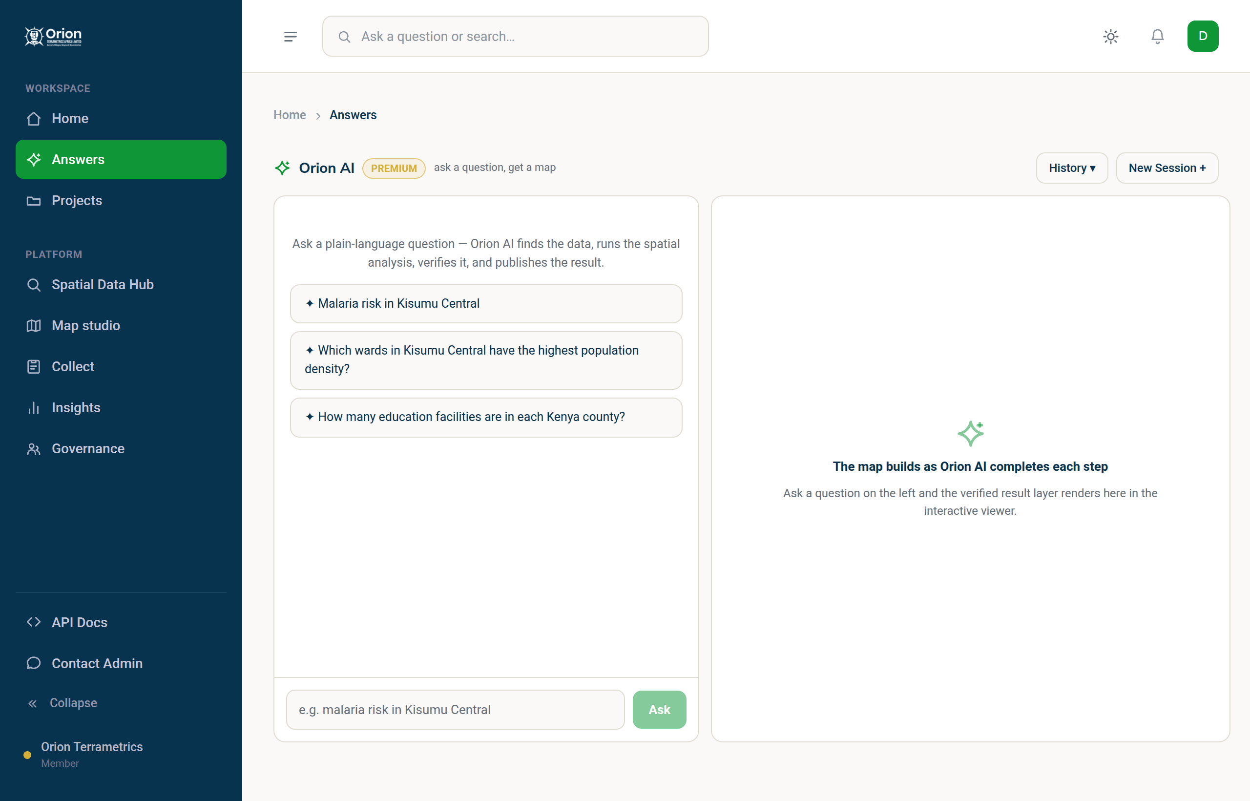
#Ask a question
Open Answers in the sidebar, or type into the search box at the top of any page and press Enter. For example:
- "Which schools in Meru county are more than 5 km from a health facility?"
- "Show population density for the wards around Nairobi."
- "Find rainfall, elevation and catchment layers relevant to flood risk in Tana River."
You can watch the map build as the assistant completes each step, then refine the question or ask a follow-up.
#What you get back
- A map of the result, with the layers the answer was built from.
- The steps that were taken, so the result can be checked rather than trusted blindly.
- The result as a dataset you can download or add to a project. Layers generated by Orion AI are labelled as such in the catalogue and list the source datasets they came from.
#Tips for good questions
- Name the place and the thing: "health facilities in Kilifi county", not "facilities".
- Say what relationship you want: within a distance, overlapping, nearest, counting.
- Start broad, then refine using a follow-up.
#Elsewhere in the platform
Orion AI also helps outside Answers: Map Studio has an assistant for analysis and styling, and Collect can draft a form from a sentence. See Create a form.
#Limits
Free accounts include a monthly allowance of AI answers; higher plans include more. Answers are only as good as the data behind them — always check the sources listed for a result.
Something missing or unclear? Tell us — we update the guide as the platform grows.